


FURTHER flood prevention schemes are being drawn up after an investigation into a storm which battered the borough for four days found ‘considerable’ investment will be required to protect residents’ homes.
Barnsley experienced heavy rainfall from October 17 last year as Storm Babet struck, with Environment Agency rain gauges recording 73.4mm of rain over the initial 24-hour period.
A total of 20 properties suffered internal flooding on Lang Avenue, Lundwood - a street which was also hit in 2017 and 2019 - while Ings Lane’s caravan site in Low Valley was submerged again, leading to an evacuation.
The River Dearne, Dove and Bulling Dyke all burst their banks, which resulted in flood prevention plans - already in place following incidents in the years prior - being stepped up in Lundwood and Low Valley.
Culverts - which channel water underneath a road, railway or embankment - have come under scrutiny after worst-hit residents alleged many of the structures had become blocked.
There are 76 known culverts, however the Chronicle can reveal that a ‘significant number’ - thought to be in excess of 500 - remain unmapped and work is being done to identify those to step up maintenance.
A council report, which will be discussed by ruling cabinet members on Wednesday, said: “The council is required to carry out an investigation following a flooding event but has discretion in terms of the depth of investigation undertaken and the degree of follow-up.
“As a result, area-specific investigations into the unique causes of flooding at specific locations are being progressed as part of individual work packages and are not contained within the report.
“Phase one of the investigation was completed in 2021/22 and involved monitoring water levels across the River Dearne, modelling surface water flows, surveying and repairing local drainage assets and carrying out maintenance of the drainage assets.
“Phase two of the investigation was completed in 2022/23 and involved CCTV inspections, a topographical survey of the area, hydraulic modelling of the River Dearne and a flood storage assessment, modelling of the Yorkshire Water sewer network and the repair of existing culvert headwalls.
“Phase three is now underway with William Saunders Partnership (WSP) commissioned to undertake detailed analysis information, including flood risk history and the flooding mechanism.
“A multi-stage optioneering exercise will then take place which will identify and test - using complex hydraulic modelling software - a number of practical solutions.
“This stage was completed in March 2024.
“However, the long-term recovery and renewal of flood protection across the borough will require considerable external investment.
“Medium-term plan bids have been submitted to the Environment Agency and allocations have been made for key projects as part of the annual budget-setting programme.
“The council continues to recognise the increasing threat of climate change-induced flooding following the unprecedented rainfall from Storm Babet in October 2023.
“This event highlighted the continued need for the development and implementation of flood resilience measures in our most vulnerable communities.”
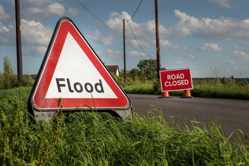
Thirteen trees were felled by Babet’s gusts and 11 roads had to be closed.
A total of 1,113 calls were jointly taken by Berneslai Homes and the council’s highways department.
Matt O’Neill, service director for growth and sustainability, said the event showed the importance of the ongoing and future work.
“The October 2023 flood event affected a number of our residents and our thoughts are with those who continue to rebuild their lives following Storm Babet,” he added.
“What we saw in October underscored the importance of proactive flood management.
“We’ve worked hard to protect and recover properties from damage and will continue to help residents to be prepared for future flood incidents.
“We will continue to help secure investment to better protect communities, properties and residents across our borough.”